The utilization of 3D laser scanners and point clouds have been widening to various engineering industries including architecture and construction. Point clouds have risen to become a central hub for communications for many workflows.
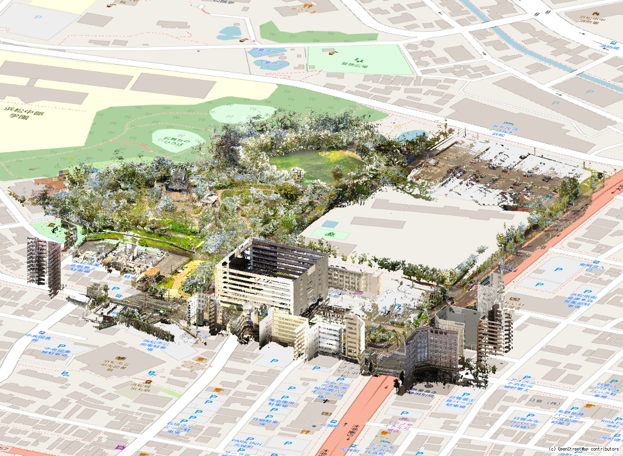
The newest InfiPoints have been enhanced to add information to areas within the point cloud environment and visualize maps behind the point cloud. Information sharing and communication is expected to be streamlined and accelerated throughout these enhancements.
Update Highlights
New functionality to specify areas for point cloud data and link related information (“Zone” function)
- Define and specify an area of point clouds as Zones to manage 3D spaces with significance (e.g., equipment, processes, construction areas, etc.)
- Search annotation, 3D models, and overlapping zones, in specific 3D spaces

Overlapping map display
Display of OpenStreetMap as background for a better understanding of the site